Safety 8 min read
Trail and Mountain Running Safety with a Live Link for Family
How to plan a mountain run or hike so your family can follow you on a live map, and what to do when the signal drops, the battery fades or you lose the trail.
Published by BEON.RUN · · Updated
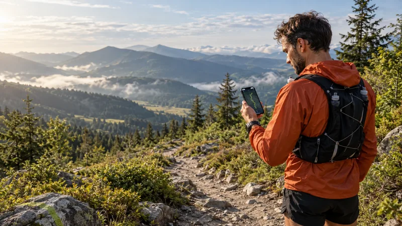
On a road run, five minutes without signal is nothing. In the mountains it is part of the route, and for the person watching your dot on a map from the sofa it can be the longest five minutes of their day. This guide shows how to set up a trail run or hike so a live link actually calms your family down instead of adding stress.
You get a concrete plan: GPX route, weather, turnaround time, signal in valleys and on ridges, a battery strategy, a race-style gear list, what to do when you lose the trail, and rescue numbers. No promises that an app will save your life. It will not. A good plan makes it more likely you never need saving.
Why a live link works differently in the mountains
In a city, coverage is almost everywhere and your position updates smoothly. In the mountains three things happen at once: gaps in signal, higher battery drain (the phone keeps hunting for a network) and longer time on your feet. A 15 km trail run with 1,200 m of climbing can take as long as a flat marathon.
So before you send the link, agree on one rule with your family: a dot that does not move for 30-60 minutes in a valley is not an alarm. The alarm is no contact after your agreed return time plus a buffer. We cover these agreements in more detail in our guide to safe solo running.
Plan before you go: GPX, weather, turnaround time
The GPX route
Draw the route in a mapping app or download the official track from a race website and save it as a GPX file. Study it closely: where are the escape routes, huts, saddles and water sources? Mark 2-3 points where you can cut the route short.
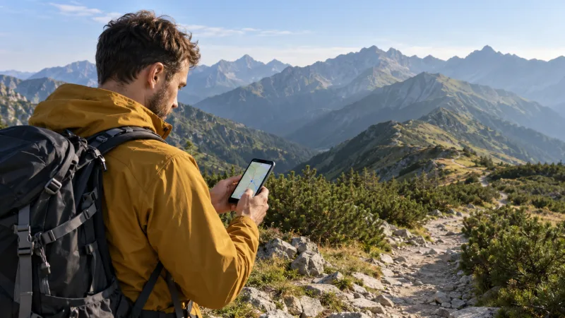
With the route loaded on your phone, you notice a wrong turn before you have lost 300 m of altitude. In BEON.RUN you can import a GPX file and follow it on the map, and the phone alerts you when you go off route. Your viewers see the planned route next to your track.
Weather
Check the forecast for altitude, not for the village in the valley. On a ridge it can be several to well over ten degrees colder, and wind can double the felt cold. In summer, afternoon thunderstorms are the classic trap in the Alps, the Rockies and the Scottish Highlands alike: plan to be off exposed ground by early afternoon. In the UK the Met Office publishes mountain-specific forecasts; elsewhere use your national weather service.
Turnaround time and daylight
Set a time when you turn back, wherever you are. Count it backwards from sunset: sunset minus descent time minus at least one hour of buffer. In the mountains you count time, not kilometers. A common trail rule: 100 m of climbing costs about as much effort as 1 km on the flat.
| Plan item | Example |
|---|---|
| Route | 18 km, +1,100 m, so about 29 "effort km" |
| Your mountain pace | about 9 min per effort km |
| Estimated time | about 4 h 20 min + stops |
| Sunset | 6:45 pm |
| Descent from the farthest point | 1 h 30 min |
| Turnaround time | 4:15 pm at the latest |
If you are not on the summit by turnaround time, you turn around. It is the simplest decision, and it saves more days out than any gadget.
Mountain signal: valleys, ridges and borders
Mobile signal travels in straight lines from masts that usually stand in valleys and towns. Hence the paradox: on the ridge you often have better signal than in the valley below it.
- Deep valleys and gorges: often no signal at all. Your last position can stay frozen for a long time.
- Ridges, summits, open alpine meadows: usually signal, sometimes from several networks.
- Forest on steep slopes: weak, unstable signal, updates arrive in bursts.
- Border areas: on Alpine ridges your phone may jump between Swiss, Italian, French or Austrian networks. Inside the EU and EEA you roam like at home, but Switzerland is outside EU roaming rules, so check your plan before a cross-border loop. Network switches can also cause short dropouts.
Good to know: in Europe and North America an emergency call can often go through another operator's network if yours has no coverage. If your phone shows "SOS only" or "emergency calls only", try anyway. If there is nothing, move higher or into open ground. In the UK you can register your phone for emergencySMS by texting "register" to 999, which helps where a call will not connect.
What happens when the signal drops
Good live tracking must not leave a hole in the map every time coverage fades. In BEON.RUN, GPS points recorded while offline are buffered on the phone and sent as soon as the connection returns, so the route fills in without a gap. The video stream reconnects automatically after short drops, with no tapping required.
What does your family see meanwhile? Your last known position and the route up to that point. When signal returns, the valley section is drawn in. Explain this before you leave, ideally by showing them on the map where you expect silence.
Also remember that in deep valleys and below rock faces GPS itself is less accurate because the phone sees fewer satellites. That is one reason mountain distances differ between devices; see why GPS distances differ.
Battery: a strategy for a long mountain day
Batteries drain faster in the mountains: the phone hunts for signal, cold reduces capacity, and in a browser the screen has to stay on during tracking (BEON.RUN keeps it awake, because a locked screen can pause GPS and camera). Live video from the camera is the biggest drain.
Airplane mode and live tracking are mutually exclusive. Airplane mode cuts data, so nobody sees your position. It is a fallback, not a way to save power while tracking.
| Setting | Family sees you live | Battery use |
|---|---|---|
| Video + GPS | yes, video and map | very high |
| GPS only, no camera | yes, map and stats | medium |
| Airplane mode | no | low |
| Phone off | no | none, full reserve |
A practical strategy for a long day:
- Start at 100% and carry the phone close to your body, not in an outer pocket in the wind.
- On long routes use GPS only. Save video for short sections or race day.
- Pack a 10,000 mAh power bank and a short cable. Top up at a hut or during a break.
- Set a 30% reserve: below it you stop tracking, text your contact "descending, reserve", and keep the rest for an emergency call.
- Dim the screen and close other apps.
More tips in our article on phone battery on long runs.
Mandatory gear: a trail race style checklist
Mountain race organizers do not demand kit for fun. These lists grew out of accidents. A typical set for longer races, worth carrying on any serious mountain outing:
- [ ] charged phone with rescue numbers saved
- [ ] survival blanket (foil)
- [ ] whistle
- [ ] headlamp plus spare batteries or a second light
- [ ] waterproof jacket with a hood
- [ ] warm layer, hat and gloves
- [ ] water: at least 1 liter, plus a cup or soft flask
- [ ] emergency food for 1-2 hours of effort
- [ ] elastic bandage or blister tape
- [ ] power bank and cable
- [ ] GPX route on the phone, plus a paper map in unfamiliar terrain
- [ ] some cash and ID
The point is that the kit is in your vest, not in the car.
Tell someone your plan and your return time
A live link does not replace a plan left with someone you trust. Send a short message before you start, for example:
Start: trailhead parking, 7:30 am. Route: up the ridge to the summit, down via the hut trail. Live link: [link]. Turnaround: 1 pm. Back at the car: 4 pm. If I have not checked in by 5:30 pm and the dot is not moving, call 112 and give them this message.
Three things matter most: where you start, which way you go, and when your contact should act. Many incidents get worse because the third one is missing, and family wait until midnight because nobody defined "too late".
If you get lost: step by step
- Stop. Drink, eat something. Panic and rushing lead into steep, unknown terrain.
- Check your position on the phone map and compare it with your GPX track.
- Go back to the last certain point, where you last saw a trail marker.
- Do not follow a stream downhill or take a "shortcut down". In the mountains this often ends at a cliff or waterfall step.
- If it is getting dark, you are injured or you cannot locate yourself, call for help. Give coordinates, injuries, number of people and gear.
- Save battery after the call: switch off what you do not need and stay put unless rescuers tell you otherwise.
- Put layers on before you get cold, use the foil blanket and the whistle (the alpine distress signal is six blasts per minute).
Mountain rescue numbers
BEON.RUN is not an emergency service and does not send alerts. In an emergency, you call.
| Where | Number |
|---|---|
| EU and most of Europe | 112 |
| United Kingdom | 999 or 112, ask for Police, then Mountain Rescue |
| Austria (alpine emergency) | 140, or 112 |
| Switzerland (Rega air rescue) | 1414, or 112 |
| USA and Canada | 911 |
Save the numbers in your contacts before the trip; you cannot search for them without signal.
Honestly: what a live link will not do
A live link shows where you were at the last connection. It will not call rescue, will not detect a fall and will not work in a valley without signal. If your battery dies, the dot stops at the last place.
That is still a lot: rescuers get your last position and the route you took from your family, not a vague "somewhere in the mountains". And for most of the day your family can see that you are on plan. If you want to run like that, create a free account and test the link on a short local trail first.
Frequently asked questions
Is there cell signal in the mountains?
Often on ridges, summits and near huts, because they have line of sight to masts in the valleys and towns. Deep valleys, gorges and forested slopes can have no signal at all for long stretches. Plan as if you will have no coverage, and treat every bar of signal as a bonus rather than a promise.
Can I share my live location in airplane mode?
No. Airplane mode switches off mobile data, so nobody sees your position until you turn it off again. GPS can still record a track, but nothing is sent. It is a good fallback when your battery drops below your reserve, but it does not combine with live tracking.
What should I do if I get lost on a mountain trail?
Stop, eat, drink and think. Check your position against your GPX track and go back to the last point where you were sure of the route. Do not descend along streams or take shortcuts downhill. If it is getting dark, someone is hurt or you cannot locate yourself, call 112 in Europe, 999 in the UK or 911 in the US.
Which number do I call for mountain rescue?
In most of Europe, call 112 and ask for mountain rescue. In the UK call 999 or 112 and ask for Police, then Mountain Rescue. In the US and Canada call 911. Austria also has 140 for alpine emergencies and Switzerland 1414 for Rega air rescue. Save the local numbers before you go.
Does live tracking replace telling someone my plan?
No. A live link shows where you were at the last connection, but it cannot call for help and stops updating without signal. Still leave your route, your expected return time and a clear deadline after which your contact should call rescue.
Let your people follow your route live
Video, GPS map and pace in one link. Viewers need no app and no account.