
For organizers
Live tracking for races without dedicated GPS trackers
How to show participants live on a map without renting trackers: participants’ phones, consent, a page for spectators, a big screen and the limits to know about.
Published by BEON.RUN · Published
Classic race tracking means renting GPS trackers, handling their logistics and paying per participant. Smaller events - local road races, trail, gravel, club events - often skip it. There is another way: the phones your participants carry anyway.
How it works
- Create the event. The race page has a description, a course from a GPX file, the start location and the date. Participants register there and you accept the entries.
- Invite to tracking. Each participant gets an invitation, sees what will be shown and switches tracking on themselves on race day.
- Start event tracking. The spectator page goes live: every participant with GPS on is on one map, plus streams from the course.
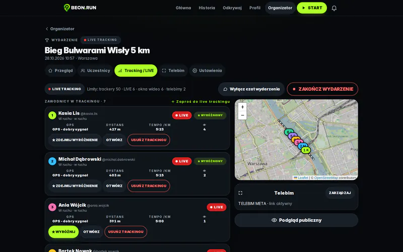
- Run it from the control room. See everyone in one place, feature participants and moderate the event chat.
Consent and participants’ privacy
Location is sensitive data. On BEON.RUN the participant always decides whether to share their position and video - an organizer can’t switch someone’s GPS on. Say clearly in your rules and pre-race emails that tracking is optional and who will see the data.
The spectator page and the big screen
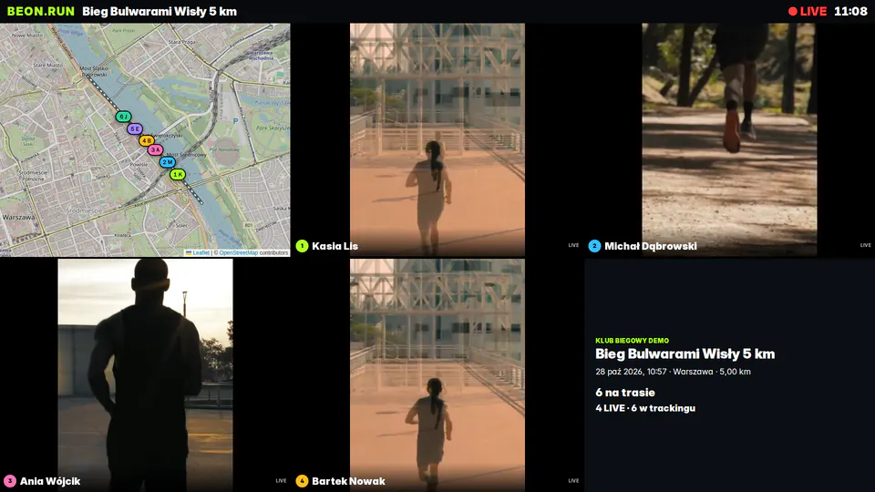
Spectators open one event link and see the course, participants on the map, streams and the chat - no login, no app. At the finish you can open the big-screen view on any display: up to six stream windows, the map and event info. Change the participant in a window from the control room and the screen switches live.
Limits worth knowing
- A phone is not a dedicated tracker. Phone GPS can be less accurate between tall buildings and in forests. BEON.RUN drops low-accuracy points, but the map may show gaps.
- Coverage and battery. Where there’s no signal, positions arrive late, once the network is back. Long events need a charged phone or a power bank.
- Not everyone will be on the map. Tracking is optional and needs a phone. It’s a spectator tool, not official timing.
Pre-race checklist
- Event published, GPX course added.
- Tracking invitations sent a few days before the race.
- A note to participants: charged phone, location on, screen not locked while streaming video.
- The event link on social media and on the poster.
- A screen and internet at the finish for the big-screen view.
An organizer account takes three steps - see BEON.RUN for organizers.
Planning a race? See how BEON.RUN works for organizers.
For organizers